Westbourne adopts MukAway: surplus soils, haulage and carbon data for project teams
Reviewed by Tom Sullivan
First reported on The Construction Index
30 Second Briefing
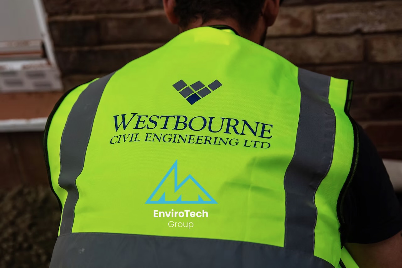
Westbourne Civil Engineering has adopted MA EnviroTech’s MukAway platform to manage surplus materials, source fill, book haulage and generate compliance and carbon data across its road, sewer and groundworks schemes in the north of England, including Riverpark Road in Manchester (498 homes), Fox Wood Garden Village in Knowsley (350 homes) and Half Penny Meadows in Clitheroe (426 homes). MukAway now covers more than 1,000 sites and 100 companies in the UK and Ireland, with 1.4m m³ of material listed. The system offers local surplus–demand matching, the UK’s first direct digital haulage link, and ten‑year retention of Duty of Care and Materials Management Plan records, tightening auditability on bulk earthworks movements.
Technical Brief
- Ten‑year digital retention of Duty of Care and Materials Management Plan records strengthens audit trails on bulk earthworks.
- Direct digital haulage link integrates material listings with haulier booking, reducing manual transport scheduling on muck‑shift.
- Group‑wide three‑year framework with Graham Group shows MukAway being embedded at portfolio rather than project level.
- Platform coverage of 1,000+ sites enables cross‑project surplus–deficit balancing beyond individual scheme boundaries.
- Westbourne’s workload focus on roads, sewers and plot groundworks implies repeated high‑volume cut‑and‑fill optimisation opportunities.
- Carbon data generated “on every movement” allows scheme‑level reporting of haulage‑related emissions for planning and ESG submissions.
- Wider adoption of such platforms could progressively displace ad‑hoc muck‑away brokerage on UK residential infrastructure packages.
Our Take
For residential schemes in the 350–500 home range such as Riverpark Road, Fox Wood Garden Village and Half Penny Meadows, access to a platform listing 1.4 million cubic metres of material can materially change cut–fill and haul strategies, often allowing contractors to substitute imported aggregates with nearby surplus and reduce off-site disposal.
The 10‑year retention of Duty of Care and Material Management Plan records goes beyond what many project teams currently manage in-house, which is likely to appeal to larger groups such as Graham Group facing long-tail liabilities and post-completion audits on sustainability and waste compliance.
Prepared by collating external sources, AI-assisted tools, and Geomechanics.io’s proprietary mining database, then reviewed for technical accuracy & edited by our geotechnical team.
Related Articles



Related Industries & Products
Construction
Quality control software for construction companies with material testing, batch tracking, and compliance management.
Mining
Geotechnical software solutions for mining operations including CMRR analysis, hydrogeological testing, and data management.
CMRR-io
Streamline coal mine roof stability assessments with our cloud-based CMRR software featuring automated calculations, multi-scenario analysis, and collaborative workflows.
HYDROGEO-io
Comprehensive hydrogeological testing platform for managing, analysing, and reporting on packer tests, lugeon values, and hydraulic conductivity assessments.
GEODB-io
Centralised geotechnical data management solution for storing, accessing, and analysing all your site investigation and material testing data.