Geomechanics.io

  • Free Tools
Sign UpLog In

Geomechanics.io

Geomechanics, Streamlined.

© 2026 Geomechanics.io. All rights reserved.

Geomechanics.io

CMRR-ioGEODB-ioHYDROGEO-ioQCDB-ioFree Tools & CalculatorsBlogLatest Industry News

Industries

MiningConstructionTunnelling

Company

Terms of UsePrivacy PolicyLinkedIn
    AllGeotechnicalMiningInfrastructureMaterialsHazardsEnvironmentalSoftwarePolicy
    Safety

    River dredging for UK rural flooding: design and risk lens for engineers

    March 25, 2026|

    Reviewed by Tom Sullivan

    River dredging for UK rural flooding: design and risk lens for engineers

    First reported on New Civil Engineer

    30 Second Briefing

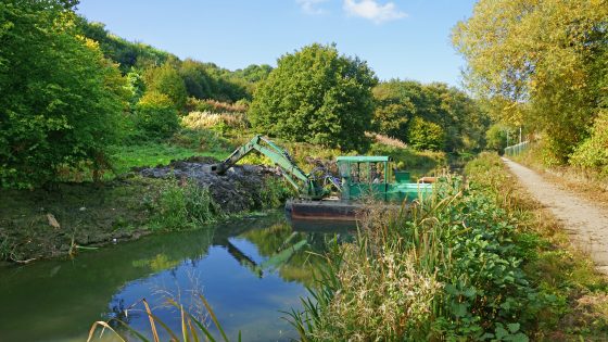
    MPs have pressed the environment minister on whether large-scale river dredging will be adopted to reduce rural flooding during extreme rainfall, amid pressure from farming communities hit by repeated winter overflows. The debate centres on whether increasing channel capacity by removing bed sediment and vegetation in rivers such as the Severn and Wye offers better value than upstream storage, washlands and natural flood management. Engineers will need to weigh short-term conveyance gains against impacts on bank stability, habitat loss, maintenance cycles and downstream flood peaks.

    Technical Brief

    • Focus is on government-sanctioned, large-scale mechanical removal of bed material and in-channel vegetation.
    • Any dredging programme would require method statements addressing bank stability, access, spoil management and environmental permitting.
    • Safety risk assessments must consider plant working in fast, high-stage flows during extreme weather events.
    • Regulatory scrutiny is likely to centre on impacts to protected habitats and compliance with flood risk management duties.
    • For designers, a key safety issue is potential transfer of peak water levels to downstream communities.
    • Outcome of this policy debate will influence future CDM duties and residual risk allocation on fluvial schemes.

    Our Take

    Because this piece sits in a Safety-tagged hazards context for the United Kingdom, any advocacy of dredging will likely be weighed against parallel UK practice shifts towards nature-based flood management, which in other covered schemes has influenced design standards and maintenance budgets for rural infrastructure.

    New Civil Engineer’s recurring role across our UK-focused hazards and awards coverage indicates that debates like dredging for flood mitigation often feed directly into professional guidance and award criteria, subtly steering what solutions consultants and local authorities consider ‘best practice’ in rural flood schemes.

    Geotechnical Software for Modern Teams

    Centralise site data, logs, and lab results with GEODB-io, CMRR-io, and HYDROGEO-io.

    No credit card required.

    • Save and export unlimited calculations
    • Advanced data visualisation
    • Generate professional PDF reports
    • Cloud storage for all your projects

    Prepared by collating external sources, AI-assisted tools, and Geomechanics.io’s proprietary mining database, then reviewed for technical accuracy & edited by our geotechnical team.

    Related Articles
    Sellafield worker death: ONR findings and safety oversight notes for engineers
    Hazards
    11 days ago

    Sellafield worker death: ONR findings and safety oversight notes for engineers

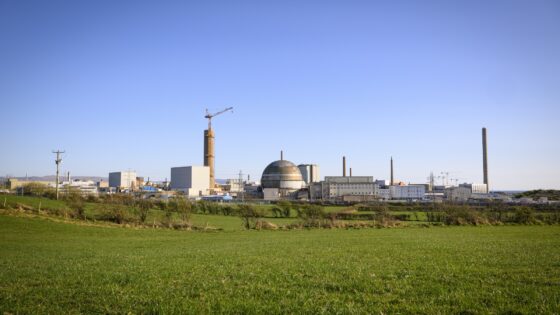
    A worker at the Sellafield nuclear decommissioning site “died suddenly” during the week commencing 6 July, prompting an immediate review by the Office for Nuclear Regulation (ONR). ONR has confirmed the death was not work-related and that there was no radiological or conventional safety incident affecting the wider site. Routine regulatory oversight of Sellafield’s legacy waste facilities, spent fuel management and construction activities continues unchanged, with no impact reported on nuclear safety cases or site operations.

    BGS River Tweed groundwater survey: flood model lessons for infrastructure engineers
    Hazards
    17 days ago

    BGS River Tweed groundwater survey: flood model lessons for infrastructure engineers

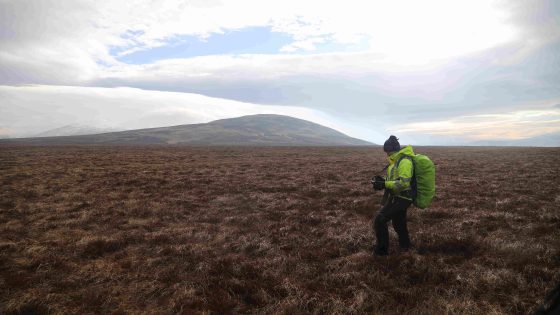
    The British Geological Survey has launched a four‑year ground investigation of the River Tweed catchment to characterise groundwater behaviour and its interaction with river levels for improved flood forecasting. Work will include installing new monitoring boreholes, logging groundwater heads and flow paths, and integrating hydrogeological data with existing river‑gauge and rainfall records across the cross‑border catchment. Findings are expected to refine flood models used by local authorities and infrastructure owners, particularly for groundwater‑dominated flood events and prolonged saturation of transport and drainage assets.

    Worsening wildfire seasons for mine operators: design and continuity lessons
    Hazards
    19 days ago

    Worsening wildfire seasons for mine operators: design and continuity lessons

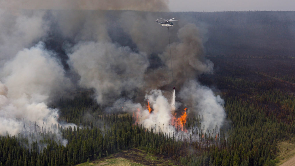
    Wildfire seasons in Western Canada are intensifying, with 2023 seeing more than 2,240 fires burning 2.84 million hectares in B.C. and insured losses of $720 million in the Okanagan/Shuswap and $1.3 billion from the 2024 Jasper fire, forcing repeated evacuations at sites such as Artemis Gold’s Blackwater and Cameco’s Cigar Lake. Operators and insurers are now treating wildfire as a core business-interruption risk, driving investment in backup generation for long transmission corridors, detailed continuity planning, and stricter underwriting. Engineers are also redesigning mine layouts and buildings for fire, favouring sites on ridge tops, wider building separation, non-combustible steel roofing and use of natural and linear infrastructure firebreaks.

    Related Industries & Products

    Construction

    Quality control software for construction companies with material testing, batch tracking, and compliance management.

    CMRR-io

    Streamline coal mine roof stability assessments with our cloud-based CMRR software featuring automated calculations, multi-scenario analysis, and collaborative workflows.

    HYDROGEO-io

    Comprehensive hydrogeological testing platform for managing, analysing, and reporting on packer tests, lugeon values, and hydraulic conductivity assessments.

    GEODB-io

    Centralised geotechnical data management solution for storing, accessing, and analysing all your site investigation and material testing data.