Geomechanics.io

  • Free Tools
Sign UpLog In

Geomechanics.io

Geomechanics, Streamlined.

© 2026 Geomechanics.io. All rights reserved.

Geomechanics.io

CMRR-ioGEODB-ioHYDROGEO-ioQCDB-ioFree Tools & CalculatorsBlogLatest Industry News

Industries

MiningConstructionTunnelling

Company

Terms of UsePrivacy PolicyLinkedIn
    AllGeotechnicalMiningInfrastructureMaterialsHazardsEnvironmentalSoftwarePolicy
    Projects
    Research

    Canada–Brazil AI nickel push: exploration modelling insights for engineers

    March 4, 2026|

    Reviewed by Tom Sullivan

    Canada–Brazil AI nickel push: exploration modelling insights for engineers

    First reported on MINING.com

    30 Second Briefing

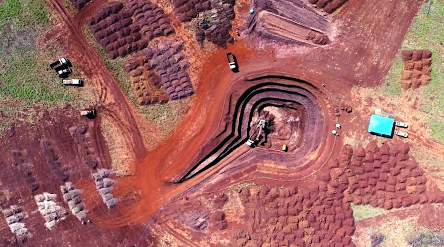
    Canada and Brazil have signed a technical cooperation accord between the Geological Survey of Brazil and the Geological Survey of Canada at PDAC 2026 to apply AI‑driven mineral potential modelling to nickel exploration, integrating geology, geochemistry, geophysics and remote sensing datasets on a shared research platform, with first results due in 2027. The work targets better understanding of nickel formation, concentration and preservation processes to prioritise high‑probability targets, particularly in Brazil, which holds an estimated 16 Mt of nickel reserves but only produces about 2.1% of global output.

    Technical Brief

    • Mineral potential modelling will be benchmarked between SGB and GSC on a shared, comparative research platform.
    • Research workflow explicitly couples process‑based studies of nickel formation, concentration and preservation with AI targeting.
    • Input datasets span mapped geology, multi-element geochemistry, geophysics and remote sensing, requiring multi-scale data integration.
    • Methodologically, the work formalises an “integrated exploration approach” rather than single-dataset prospectivity mapping.

    Our Take

    Brazil’s 16 Mt of nickel reserves but only 2.1% share of global output in our database suggests a sizeable pipeline of undeveloped or under-explored laterite resources where AI-assisted targeting could materially shift its production rank over the 2027 horizon.

    The recent US$500 million sale of Anglo American’s Brazilian nickel assets to MMG Singapore Resources in our coverage indicates that larger producers are already repositioning around Brazilian nickel, so AI-derived targets from the Geological Survey of Brazil and Geological Survey of Canada are likely to feed directly into future M&A and farm-in activity.

    With 1,998 tag-matched ‘Projects’ and ‘Research’ pieces but only a handful explicitly linking AI and nickel exploration, this Canada–Brazil initiative stands out as an early test case for national surveys using machine learning on state datasets rather than company-level pilots.

    Geotechnical Software for Modern Teams

    Centralise site data, logs, and lab results with GEODB-io, CMRR-io, and HYDROGEO-io.

    No credit card required.

    • Save and export unlimited calculations
    • Advanced data visualisation
    • Generate professional PDF reports
    • Cloud storage for all your projects

    Prepared by collating external sources, AI-assisted tools, and Geomechanics.io’s proprietary mining database, then reviewed for technical accuracy & edited by our geotechnical team.

    Related Articles

    BHP on data and AI in mining: decision-making lessons for project engineers
    Mining
    about 8 hours ago

    BHP on data and AI in mining: decision-making lessons for project engineers

    BHP Chief Digital Officer Mikko Tepponen argues that falling discovery rates and more complex orebodies are pushing miners towards data-centric decision-making, from exploration targeting to multi-decade capital allocation. He points to integrating geological, geophysical and drilling datasets into unified cloud platforms and using machine learning models to rank targets and optimise mine plans under multiple regulatory and ESG constraints. Tepponen stresses that value comes from linking these AI tools directly to operational decisions, such as dynamic cut-off grade strategies and real-time processing adjustments, rather than from pilots in isolated data science teams.

    Mining
    about 9 hours ago

    Sandvik AutoMine orders from Byrnecut: multi-mine automation lens for engineers

    Sandvik has secured five AutoMine orders from Byrnecut, deploying AutoMine Multi-Lite systems at the Gwalia, Ulysses, Youanmi and Gossan Valley underground mines in Australia and the Navachab gold mine in Namibia. The contracts extend Sandvik’s automation platform across multiple jurisdictions and orebody types, enabling tele-remote and multi-machine control of Sandvik loaders and trucks from centralised control rooms. With these installations, most of Byrnecut’s global underground operations will now run Sandvik’s AutoMine architecture, simplifying fleet standardisation, training and support.

    Mining
    about 11 hours ago

    3ME BladeVOLT IECEx certification: design and safety notes for mine engineers

    3ME Technology has secured IECEx hazardous area certification for its BladeVOLT® lithium-ion battery system to the IEC 60079 series, enabling use on electric mobile equipment in gassy underground mines previously limited to diesel or tethered power. The intrinsically safe design targets Group I mining atmospheres, allowing OEMs to integrate high‑energy battery packs into flameproof or explosion-protected platforms without separate local certification. This opens a compliant pathway for battery-electric loaders, trucks and utility vehicles in coal and other gas-prone operations seeking to cut diesel emissions and heat load.

    Related Industries & Products

    Mining

    Geotechnical software solutions for mining operations including CMRR analysis, hydrogeological testing, and data management.

    CMRR-io

    Streamline coal mine roof stability assessments with our cloud-based CMRR software featuring automated calculations, multi-scenario analysis, and collaborative workflows.

    HYDROGEO-io

    Comprehensive hydrogeological testing platform for managing, analysing, and reporting on packer tests, lugeon values, and hydraulic conductivity assessments.

    GEODB-io

    Centralised geotechnical data management solution for storing, accessing, and analysing all your site investigation and material testing data.