Bouygues uses BIM at Moorfields: coordination and layout lessons for project teams
Reviewed by Joe Ashwell
First reported on The Construction Index
30 Second Briefing
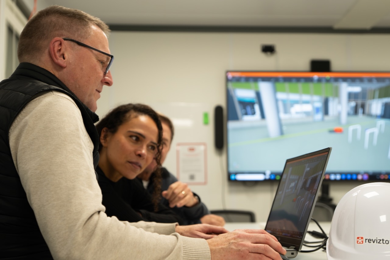
Bouygues UK is using Revizto BIM tools to run live, fully navigable 3D walk-throughs of the 47,000 m² Moorfields and UCL Centre for Eye Health, enabling clinicians to test operating theatre layouts, medical gas outlet positions and patient flows months before work reaches those areas. A single shared model for more than 100 daily onsite users across 20 disciplines has cut clash detection from about a week to 10–15 minutes, with issues logged and resolved in real time. The specialist eye hospital complex is scheduled to open to patients in summer 2027.
Technical Brief
- Revizto is configured as a single live coordination environment, replacing discipline-specific drawings and siloed models.
- Over 100 onsite users across 20 disciplines access the shared model daily for coordination and review.
- Highly specialised spaces modelled include operating theatres, blackout rooms, research laboratories and a dedicated emergency department.
- Design conflicts are automatically surfaced in the platform, then logged, assigned an owner and tracked to closure.
- Real-time issue resolution replaces multi-week drawing exchanges, compressing design coordination into short onsite discussions.
- Fragmentation between structural, MEP and fire safety teams is reduced by enforcing one common, continuously updated dataset.
- Early digital validation of clinical layouts is intended to cut physical rework in highly serviced, high-cost fit-out zones.
- Similar multi-disciplinary healthcare or laboratory projects could adopt comparable single-environment BIM workflows to manage dense services.
Our Take
Bouygues UK also appears in our coverage for the LSE Bankside House redevelopment, suggesting that its UK portfolio is skewing towards large, complex urban institutions where BIM-led coordination can materially de-risk stakeholder and programme pressures.
Revizto’s use on both the Moorfields and UCL Centre for Eye Health and Arcadis’ Warringah Freeway Upgrade in New South Wales indicates the platform is being stress-tested on high‑complexity, multi‑discipline schemes in both healthcare and transport, which is relevant for teams benchmarking common data environments across sectors.
Cutting clash detection from about a week to minutes on a 20‑discipline project with over 100 daily users implies that similar UK hospital or university builds could justify dedicated BIM coordination roles or licences purely on avoided rework and programme float, even before considering patient‑facing commissioning deadlines like the 2027 first‑patient target here.
Prepared by collating external sources, AI-assisted tools, and Geomechanics.io’s proprietary mining database, then reviewed for technical accuracy & edited by our geotechnical team.
Related Articles



Related Industries & Products
Mining
Geotechnical software solutions for mining operations including CMRR analysis, hydrogeological testing, and data management.
CMRR-io
Streamline coal mine roof stability assessments with our cloud-based CMRR software featuring automated calculations, multi-scenario analysis, and collaborative workflows.
HYDROGEO-io
Comprehensive hydrogeological testing platform for managing, analysing, and reporting on packer tests, lugeon values, and hydraulic conductivity assessments.
GEODB-io
Centralised geotechnical data management solution for storing, accessing, and analysing all your site investigation and material testing data.