Geomechanics.io

  • Free Tools
Sign UpLog In

Geomechanics.io

Geomechanics, Streamlined.

© 2026 Geomechanics.io. All rights reserved.

Geomechanics.io

CMRR-ioGEODB-ioHYDROGEO-ioQCDB-ioFree Tools & CalculatorsBlogLatest Industry News

Industries

MiningConstructionTunnelling

Company

Terms of UsePrivacy PolicyLinkedIn
    Sustainability

    UK tree planting shortfall: flood and carbon removal risks for infrastructure teams

    January 14, 2026|

    Reviewed by Tom Sullivan

    UK tree planting shortfall: flood and carbon removal risks for infrastructure teams

    First reported on New Civil Engineer

    30 Second Briefing

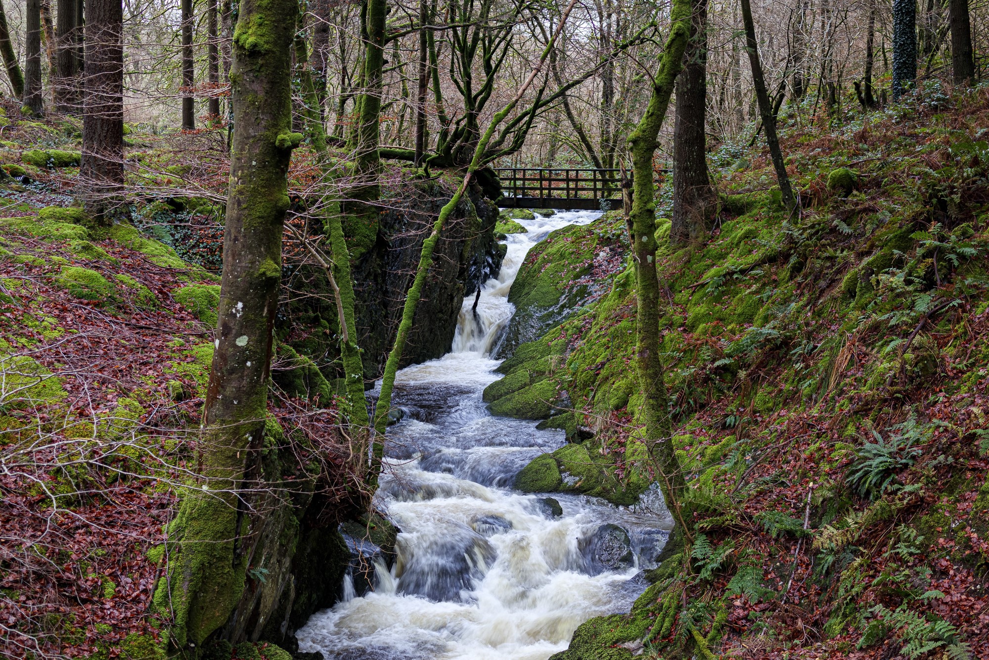
    UK tree‑planting rates are falling far short of the UK’s statutory 2050 net‑zero pathway, with the Energy and Climate Intelligence Unit warning that missed planting during this Parliament could create a long‑term “carbon removal gap” and weaker natural flood defences. The analysis points to delayed woodland creation in upland catchments and along floodplains, where riparian planting and shelterbelts could slow overland flow, stabilise soils and reduce peak river levels. For infrastructure planners, this signals greater reliance on hard‑engineered flood schemes and more expensive carbon removal options later in the century.

    Technical Brief

    • Warning centres on a quantified “carbon removal gap”, implying shortfall against statutory 2050 pathways.
    • Missed woodland creation is treated as a locked‑in deficit, given multi‑decadal forest growth timescales.
    • Flood protection loss is framed as foregone natural capital, not just delayed environmental co‑benefits.
    • Upland and riparian planting are implicitly treated as catchment‑scale hydraulic roughness interventions.
    • For flood scheme appraisals, findings imply revisiting benefit–cost assumptions for nature‑based measures.
    • Infrastructure planners may need to model higher residual flood risk where woodland schemes are not delivered.
    • Carbon accounting for major projects could face tighter engineered removal requirements if the gap persists.

    Our Take

    Within our largely project-focused Sustainability coverage, the United Kingdom appears more often in stories on retrofit and coastal defence than on nature-based solutions, so ECIU’s warning points to a relative policy and investment gap on tree- and catchment-based resilience measures by 2050.

    For UK infrastructure planners reading New Civil Engineer, a carbon removal and flood-resilience shortfall by 2050 implies that more engineered flood schemes and hard defences may be required later, with higher lifecycle costs, if tree planting and catchment restoration are not scaled in the near term.

    Because only a handful of Environmental stories in our database centre on national-level planning rather than single assets, this ECIU analysis is likely to feed directly into how regional authorities and utilities justify long-term green infrastructure lines in their capital programmes to 2050.

    Geotechnical Software for Modern Teams

    Centralise site data, logs, and lab results with GEODB-io, CMRR-io, and HYDROGEO-io.

    No credit card required.

    • Save and export unlimited calculations
    • Advanced data visualisation
    • Generate professional PDF reports
    • Cloud storage for all your projects

    Prepared by collating external sources, AI-assisted tools, and Geomechanics.io’s proprietary mining database, then reviewed for technical accuracy & edited by our geotechnical team.

    Related Articles

    Jacobs’ Oldbury environmental baselining: implications for nuclear site design
    Environmental
    3 days ago

    Jacobs’ Oldbury environmental baselining: implications for nuclear site design

    Jacobs has been appointed by Great British Energy – Nuclear to deliver environmental consultancy and baselining at the Oldbury site in Gloucestershire, earmarked as a potential location for a new nuclear power station. The work will characterise existing ground, groundwater, ecological and radiological conditions to support future nuclear site licensing, environmental permits and design optioneering. Early baselining data will be critical for later geotechnical investigations, foundation design, flood and coastal risk assessments, and long-term monitoring strategies if the project proceeds.

    UK Government NbS catchment study: hydrological design notes for engineers
    Environmental
    14 days ago

    UK Government NbS catchment study: hydrological design notes for engineers

    A UK Government research paper concludes that Nature-based Solutions such as floodplain reconnection, riparian woodland and leaky barriers are most effective when planned and modelled across whole catchments rather than as isolated site schemes. The study stresses integrating NbS with existing hard defences, using hydrological and hydraulic modelling to quantify peak flow attenuation and downstream level reductions under design storm events. For civil and drainage engineers, this points to earlier basin-scale option appraisal, multi-landowner agreements and long-term monitoring of storage volumes, infiltration rates and sediment behaviour.

    Dalton Quarry biodiversity bank: BNG design and land-take notes for project teams
    Environmental
    17 days ago

    Dalton Quarry biodiversity bank: BNG design and land-take notes for project teams

    A former Ibstock extraction site, Dalton Quarry, is being converted by Green Earth Developments Group into a biodiversity “bank” of engineered habitats to generate tradable biodiversity net gain (BNG) units for UK infrastructure schemes. The project will create a mosaic of habitat types on previously worked quarry land, allowing developers to purchase pre-accredited BNG units rather than delivering all ecological uplift within constrained project footprints. For civil and geotechnical teams, this model could influence land-take, earthworks design and long-term aftercare obligations on major road, rail and housing projects.

    Related Industries & Products

    Construction

    Quality control software for construction companies with material testing, batch tracking, and compliance management.

    Mining

    Geotechnical software solutions for mining operations including CMRR analysis, hydrogeological testing, and data management.

    CMRR-io

    Streamline coal mine roof stability assessments with our cloud-based CMRR software featuring automated calculations, multi-scenario analysis, and collaborative workflows.

    HYDROGEO-io

    Comprehensive hydrogeological testing platform for managing, analysing, and reporting on packer tests, lugeon values, and hydraulic conductivity assessments.

    GEODB-io

    Centralised geotechnical data management solution for storing, accessing, and analysing all your site investigation and material testing data.

    AllGeotechnicalMiningInfrastructureMaterialsHazardsEnvironmentalSoftwarePolicy