Geomechanics.io

  • Free Tools
Sign UpLog In

Geomechanics.io

Geomechanics, Streamlined.

© 2026 Geomechanics.io. All rights reserved.

Geomechanics.io

CMRR-ioGEODB-ioHYDROGEO-ioQCDB-ioFree Tools & CalculatorsBlogLatest Industry News

Industries

MiningConstructionTunnelling

Company

Terms of UsePrivacy PolicyLinkedIn
    Projects

    British Hill high-grade gold extensions: drilling and lode geometry notes for engineers

    July 24, 2026|

    Reviewed by Joe Ashwell

    British Hill high-grade gold extensions: drilling and lode geometry notes for engineers

    First reported on Australian Mining

    30 Second Briefing

    Strong reverse-circulation drilling results at Forrestania Resources’ British Hill project in Western Australia include 4m at 7.46g/t gold from 124m, with a 1m interval at 22.76g/t, and a separate 1m at 22.98g/t from 141m in hole 26BHRC013. The eight-hole RC programme targeted down-dip and along-strike extensions of previously defined mineralisation, confirming high-grade shoots at depths beyond 120m. These intercepts support potential resource growth and justify further step-out drilling and structural modelling of the lode geometry.

    Technical Brief

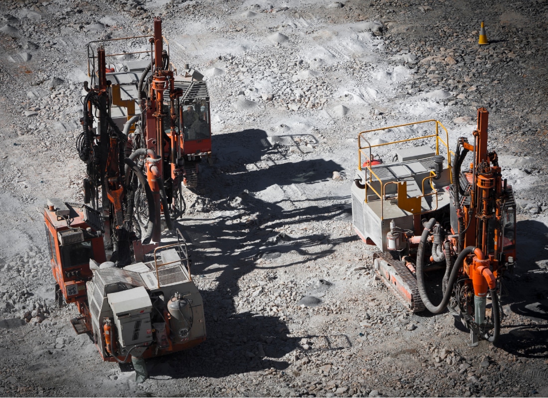
    • RC drilling configuration suits rapid coverage of structurally controlled lodes in hard Archaean greenstone terrane.
    • High-grade down-dip hits suggest steeply plunging shoots, guiding future hole orientation and collar spacing.
    • Depth of mineralisation (>120 m) points towards potential underground extraction scenarios rather than shallow open pits.
    • Structural modelling will likely focus on shear-hosted lode geometry, vein continuity and potential flexures or jogs.
    • Follow-up step-out drilling is expected to tighten drill spacing for maiden resource classification under JORC.
    • Comparable Forrestania gold systems often require detailed geotechnical logging to manage variable rock mass and faulting.

    Our Take

    Forrestania Resources has been steadily consolidating Western Australian gold ground – with recent moves at MacPhersons, Newington and Hyden – so high‑grade hits at the British Hill project strengthen a multi‑asset exploration story rather than a single‑prospect bet.

    The 7.46 g/t over 4 m and >22 g/t 1 m intervals at around 124–141 m depth sit in the range where open‑pit to underground transition strategies are commonly evaluated in Western Australia, which could give Forrestania optionality on future mine design if continuity is proven.

    In our database of gold‑tagged project pieces, Forrestania now appears repeatedly alongside other WA explorers reporting strong intercepts, suggesting it is positioning itself as a more material regional player ahead of the proposed all‑scrip acquisition of Zenith Minerals announced in June 2026.

    Geotechnical Software for Modern Teams

    Centralise site data, logs, and lab results with GEODB-io, CMRR-io, and HYDROGEO-io.

    No credit card required.

    • Save and export unlimited calculations
    • Advanced data visualisation
    • Generate professional PDF reports
    • Cloud storage for all your projects

    Prepared by collating external sources, AI-assisted tools, and Geomechanics.io’s proprietary mining database, then reviewed for technical accuracy & edited by our geotechnical team.

    Related Articles
    Mining
    about 5 hours ago

    Glencore’s US$250m Cat order for Alumbrera: fleet renewal lens for mine planners

    Glencore has placed a US$250 million order with Finning’s South America business to supply more than 20 large Caterpillar mining trucks, ancillary equipment and technology support for the planned 2026 restart of the Alumbrera copper mine in Argentina. The package, disclosed in Finning’s Q1 2026 results, centres on fleet renewal and digital support rather than life-extension of legacy units. For mine planners and maintenance teams, the scale and timing signal a shift towards a modernised, OEM-supported truck fleet ahead of full production ramp-up.

    MAX Power’s Lawson hydrogen project expansion: scale and infrastructure lens for engineers
    Mining
    1 day ago

    MAX Power’s Lawson hydrogen project expansion: scale and infrastructure lens for engineers

    MAX Power Mining has secured an additional 155,125 acres (628 sq. km) of permits contiguous with its 1,224 sq. km Lawson natural hydrogen project in south-central Saskatchewan, creating the newly named Aurora project on a basement-controlled structural play along the Paleoproterozoic–Archean contact of the Sask Craton. The company has now accumulated 660,263 acres (2,672 sq. km) of provincial permits across the Genesis Trend while running a multi-well commercial validation drill programme at Lawson targeting large-scale natural hydrogen. An MOU with the City of Moose Jaw links potential hydrogen development to a nearby heavy industrial and major data centre corridor, signalling early focus on local offtake and infrastructure integration.

    American Mineral Resources’ diversified portfolio: capex and jurisdiction risk lens
    Mining
    1 day ago

    American Mineral Resources’ diversified portfolio: capex and jurisdiction risk lens

    American Mineral Resources is assembling a seven-jurisdiction portfolio across Quebec, British Columbia, Yukon, Chile, New Zealand, Western Australia and Tanzania, with its Piscau North polymetallic project in Quebec earmarked for a separate Canadian Securities Exchange listing, as it targets a Nasdaq uplist within 12 months via the OTCQB. CEO Ryan Cunningham is prioritising projects with existing permits or modest capex and argues that jurisdictional risk now rivals grade, citing Quebec’s Gaspé oil drilling ban as a warning. He also points to Canada’s flow-through share regime as a key financing advantage over US markets still fixated on AI and tech.

    Related Industries & Products

    Mining

    Geotechnical software solutions for mining operations including CMRR analysis, hydrogeological testing, and data management.

    Tunnelling

    Specialised solutions for tunnelling projects including grout mix design, hydrogeological analysis, and quality control.

    CMRR-io

    Streamline coal mine roof stability assessments with our cloud-based CMRR software featuring automated calculations, multi-scenario analysis, and collaborative workflows.

    HYDROGEO-io

    Comprehensive hydrogeological testing platform for managing, analysing, and reporting on packer tests, lugeon values, and hydraulic conductivity assessments.

    GEODB-io

    Centralised geotechnical data management solution for storing, accessing, and analysing all your site investigation and material testing data.

    AllGeotechnicalMiningInfrastructureMaterialsHazardsEnvironmentalSoftwarePolicy